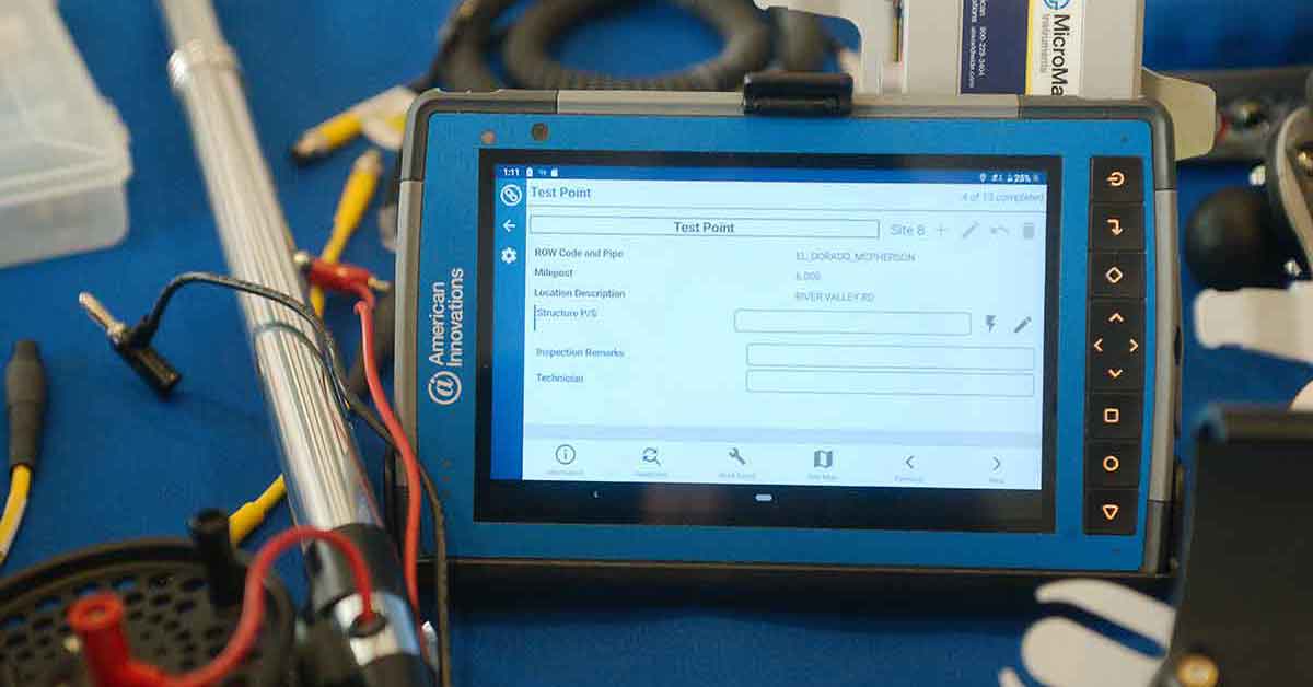
Cartopac is a digital workflow management platform for oil, gas, electric, and water industries to enable mobile field data collection that involves complex workflows such as as-built construction, leak inspection, and facility pipeline inspection.
An End-to-end Construction Workflow Solution
The CartoPac solution is focused on field crews, inspectors, reviewers, and management to deliver streamlined data from mobile devices to Esri GIS and in-house databases. As key energy and water infrastructure industries undergo a digital transformation, CartoPac offers an end-to-end solution enabling stream-lined data collection integrated with existing business rules.
CartoPac Version 9.10.00 includes new features driven by customer requests:
- iOS Upgrades – for more than two decades, CartoPac has supported Windows mobile devices. Version 9.10.00 adds Windows Mobile functionality within CartoPac to the iOS platform streamlining inspection, repair, and maintenance workflows.
- 3D GNSS vertical datum support for height above Geoid. Storing orthometric heights in a defined vertical datum supports advanced 3D modeling analysis and meets demanding data submission standards.
- Updated template workflows for barcode data collection, pipe fusing, pressure test, as-built reports, and more.
Construction Workflow Digital Transformation
Some utilities still use pen and paper to field data collection. Manual data collection is susceptible to human error, leading to lost revenue and environmental damage. As the world continues to transition to clean and more efficient energy, digital transformation for tracking, trackability is key for safety and energy efficiency.
CartoPac is an American Innovations brand.
To learn more about CartoPac, complete the form on this page to reach our sales team.
↔


